Flash Flood Warnings Issued for Florida Coastal Regions
Heavy rainfall and a coastal storm have triggered flood warnings and watches across Northern Florida, with significant accumulation expected through Thursday.
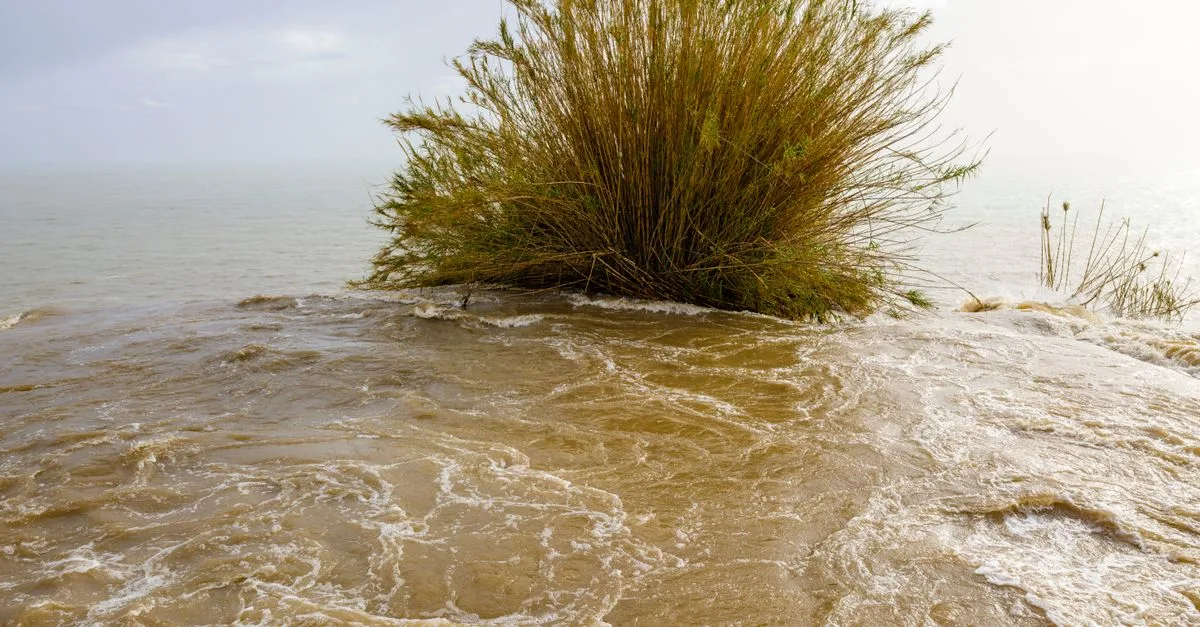
Quick facts
- Up to 12 inches of rain has been recorded in the Florida Panhandle over the past week.
- The National Weather Service extended a Flood Watch for coastal counties until 6 p.m. Wednesday.
- Tidal increases of 1.5 to 2.5 feet above normal levels are expected through Thursday.
Why it matters
The current weather pattern highlights the vulnerability of Florida's low-lying coastal regions to stalled frontal boundaries and prolonged precipitation. While this specific event is localized to the Florida coast, it reflects a broader meteorological trend of significant moisture transport from the Atlantic affecting the Southeastern United States. The situation remains fluid as forecasters monitor the potential for additional rainfall through the end of the week.
A persistent coastal storm system is bringing heavy rain and flash flood risks to Northern Florida, prompting officials to issue Flood Watches and warnings across the region. The unsettled weather, which has been soaking the state throughout the week, is expected to continue through Thursday.
What is the current situation?
According to the National Weather Service, Flood Watches are in effect for several coastal counties, including Duval, Flagler, Nassau, Clay, Putnam, St. Johns, and Camden. The threat is driven by a coastal storm located just off the northeastern Florida coast, which is contributing to dangerous surf, strong rip currents, and beach erosion. Meteorologists report that tidal levels could rise 1.5 to 2.5 feet above normally dry ground.
Why is this trending in United States?
Residents across the Southeast are searching for the latest updates as heavy rainfall impacts travel and safety in popular coastal towns. The ongoing weather system is affecting a large geographic area, drawing national attention to the flood risks in Florida.
What to expect through the week
The FOX Forecast Center indicates that parts of Florida could receive an additional 2 to 5 inches of rain by Thursday. A Level 1 out of 4 flash flood risk remains in place for most of the state. Conditions are expected to remain breezy, with northeast winds increasing to 15-20 mph and gusts along the beaches reaching 25-35 mph.
What is confirmed and what is not
It is confirmed that Flood Watches are in place for the mentioned coastal counties through 6 p.m. Wednesday. The total rainfall accumulation for the week is reported as up to 12 inches in the Florida Panhandle and 4 to 6 inches in the area between Gainesville and Jacksonville. Whether specific cities will set new monthly rainfall records remains unconfirmed at the time of writing.
Frequently asked questions
What is a flash flood warning?
A flash flood warning indicates that flooding is imminent or occurring in the specified area. It requires immediate action to move to higher ground or avoid flooded roads, as flash floods are sudden, intense, and pose significant risks to public safety.
Which Florida counties are under a Flood Watch?
As of October 7, 2026, the National Weather Service has issued Flood Watches for Duval, Flagler, Nassau, Clay, Putnam, St. Johns, and Camden counties, as well as the area surrounding the Trout River.
How long will the heavy rain last?
Current forecasts indicate the wet weather and coastal hazards will likely continue through Thursday, with some unsettled conditions potentially persisting through Friday. Residents are advised to monitor local weather reports for the most current information.
Are rip currents a concern?
Yes. The coastal storm system is generating dangerous surf and high rip current risks along the First Coast. Officials advise beachgoers to exercise extreme caution and heed all warnings from local authorities regarding water safety.
What is the expected tidal impact?
Meteorologists anticipate tidal increases of 1.5 to 2.5 feet above normally dry ground. This minor tidal flooding, combined with heavy rain, contributes to the overall flood threat for coastal regions through Thursday.
Where can I find the latest flood updates?
The most accurate and timely information is available through the National Weather Service, local news outlets like News4JAX, and official county emergency management websites, which provide real-time radar and safety alerts for specific neighborhoods.
In this story
Sources
- FOX Weather: Northern Florida beach towns facing a coastal flood threat as relentless rain soaks region throughout the week
- News4JAX: LIVE RADAR: Flood Watch extended for coastal counties through 6 p.m. Wednesday
- ABC7 WWSB: First Alert Weather Days Declared for Wednesday and Thursday as Flooding Rain Threatens Manatee and Sarasota Counties
Trend snapshot
- Topic
- Lifestyle
- Trending in
- United States
- Search interest
- 2000+ recent searches
- Status
- Verified: 3 independent outlets
- Last updated
- Oct 8, 2026 at 6:45 AM
Last checked Oct 8, 2026 at 6:45 AM. Trends move fast, so details may change. How we work · How we verify
Comments