Severe Multi-State Storm System Hits Eastern Australia
A powerful multi-state thunderstorm system is impacting eastern Australia, bringing threats of giant hail, damaging winds, and flash flooding.
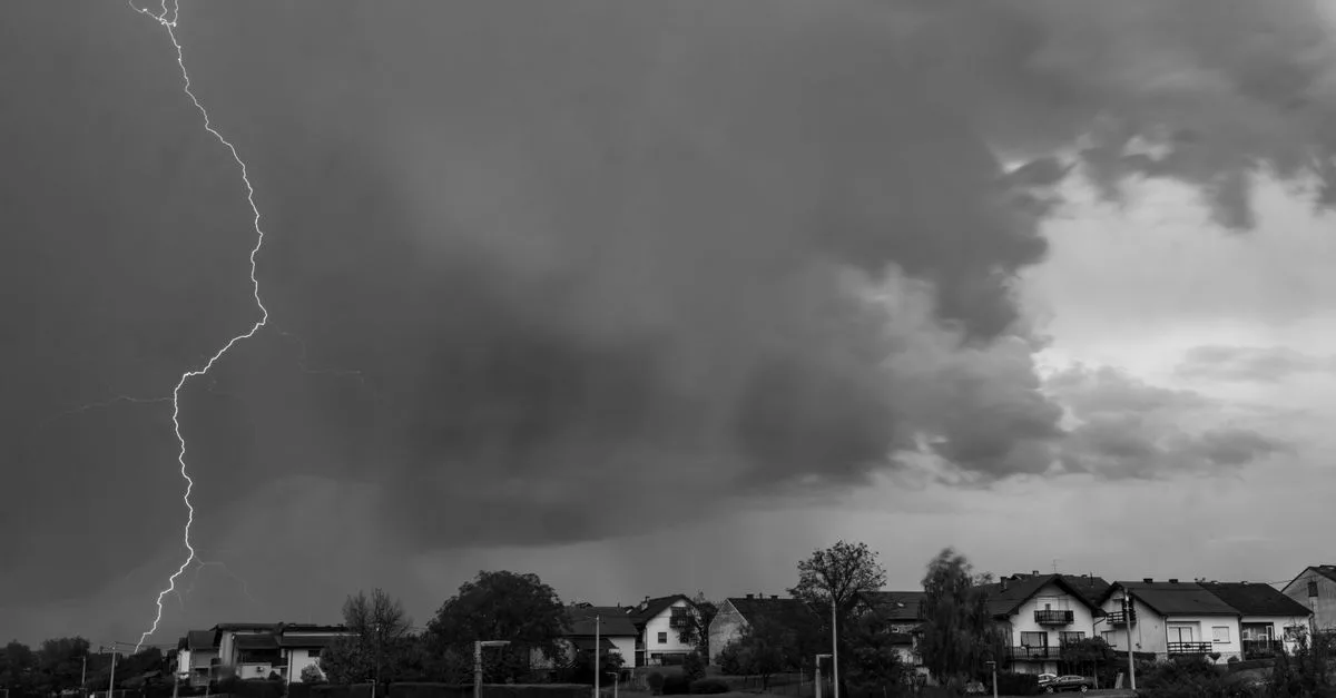
Quick facts
- The Bureau of Meteorology issued warnings for southern Queensland, western NSW, the ACT, and eastern Victoria.
- Eight flood warnings are currently in place across southern Queensland following 10 days of rain.
- Severe weather threats include giant hail, damaging wind gusts, and flash flooding.
Why it matters
This severe weather event highlights the vulnerability of Australia's east coast to large-scale, multi-state storm systems. The combination of pre-existing soil saturation in Queensland and the arrival of new, powerful storm fronts increases the risk of flash flooding and infrastructure disruption. Authorities remain in a state of high alert as the system traverses the region.
A large-scale, multi-state thunderstorm system is currently impacting eastern Australia, prompting severe weather warnings across multiple regions. As of October 25, 2026, the Bureau of Meteorology (BoM) has alerted residents to the risk of giant hail, damaging winds, and flash flooding as the weather front moves across the country's east.
Why it is trending now
The system is trending due to its significant geographic reach and the intensity of the weather events reported. According to reports, a broad line of storms has already swept through western New South Wales, while southern Queensland continues to struggle with the aftermath of 10 days of torrential rain. The BoM has issued specific warnings for Sydney, greater Wollongong, and parts of the Blue Mountains, Hawkesbury, Gosford, Wyong, and Wollondilly areas.
Key facts
- The Bureau of Meteorology warned that severe thunderstorms are likely to bring power outages and flash flooding, according to The Guardian.
- Eight separate flood warnings remain active across southern Queensland following sustained heavy rainfall, as reported by The Guardian.
- The storm system's path includes southern Queensland, western New South Wales, the ACT, and eastern Victoria, according to Nine.com.au.
Why this is trending in Australia
The intense nature of the storms combined with the widespread impact across major population centers and rural areas has driven high search interest. The situation is exacerbated by the ongoing flood recovery efforts in southern Queensland, where communities have been dealing with wild weather for over a week.
Background and context
The eastern states have been under pressure from a series of weather events. Recent reports highlight a notable incident on October 22, where a vehicle was engulfed by floodwaters on Buchanan Road in Morayfield, north of Brisbane. The current multi-state system is a continuation of this broader period of instability affecting the east coast.
What happens next
The Bureau of Meteorology has indicated that more potential storms and flood risks are expected to persist into Monday. Residents in the affected regions are encouraged to monitor local updates from the BoM for the latest warnings and safety advice regarding damaging winds and potential power outages.
Frequently asked questions
What is the current status of the multi-state storm in Australia?
As of October 25, 2026, the Bureau of Meteorology has issued severe thunderstorm warnings for southern Queensland, western New South Wales, the ACT, and eastern Victoria. The system is expected to continue bringing risks of hail, damaging winds, and flash flooding.
Which regions are most affected by the current weather?
Impacted areas include southern Queensland, western New South Wales, the ACT, and eastern Victoria. Specifically, the Bureau of Meteorology has issued warnings for Sydney, greater Wollongong, the Blue Mountains, Hawkesbury, Gosford, Wyong, and Wollondilly.
Are there flood warnings in place?
Yes. According to official reports, there are eight flood warnings currently active across southern Queensland following ten days of torrential rain and severe weather conditions.
What hazards should residents expect from these storms?
The Bureau of Meteorology has warned of several hazards, including giant hail, destructive wind gusts, flash flooding, and potential power outages across the affected eastern states.
How long has this weather been affecting Queensland?
Southern Queensland has been experiencing wild weather for the past 10 days, leading to significant rainfall and ongoing flood risks in the region.
What should I do if I am in an affected area?
Residents should monitor the Bureau of Meteorology website for the latest warnings and safety alerts. It is advised to stay informed about local conditions and follow instructions from emergency services regarding flood risks and severe weather safety.
In this story
Sources
Trend snapshot
- Topic
- Science
- Trending in
- Australia
- Search interest
- 100000+ recent searches
- Status
- Verified: 3 independent outlets
- Last updated
- Oct 25, 2026 at 1:00 PM
Last checked Oct 25, 2026 at 1:00 PM. Trends move fast, so details may change. How we work · How we verify
Comments