Flash Flooding Warnings Issued for South-East Queensland
Severe weather conditions are impacting south-east Queensland, with authorities warning of flash flooding, large hail, and damaging winds today.
Quick facts
- The Bureau of Meteorology has warned of potential 90km/h wind gusts.
- Some regions in south-east Queensland have recorded over 200mm of rain in the past week.
- The SES has responded to 67 call-outs since Sunday afternoon.
Why it matters
The current weather event is part of a significant, multi-day rainfall system that has left soil saturated across south-east Queensland, making the region highly susceptible to flash flooding. Emergency services are currently focused on rescue operations and monitoring rising water levels in major river systems. The situation remains fluid as authorities track the movement of storm cells.
Flash flooding, large hail, and damaging winds are threatening south-east Queensland as severe storms sweep across the region today, October 26, 2026. Residents are being urged to prepare for extreme weather conditions, with the Bureau of Meteorology warning of multiple rounds of storms throughout the day.
Why it is trending now
The trend follows a week of heavy rainfall that has saturated the region. According to the Bureau of Meteorology, severe thunderstorms are expected to impact areas including Brisbane, the Gold Coast, and the Sunshine Coast. Some parts of the Sunshine Coast hinterland have already recorded up to 500mm of rain, significantly increasing the risk of flash flooding as additional heavy rain falls today.
Key facts
- According to the Bureau of Meteorology, wind gusts of up to 90 kilometres per hour are possible.
- Two people were rescued from flooded vehicles in the Southern Downs in the early hours of Monday morning, per ABC News.
- The State Emergency Service (SES) has attended 67 call-outs since Sunday afternoon, according to reports from Nine.com.au.
- Flood warnings remain active for the Mary, Condamine, and Warrego rivers, as reported by Nine.com.au.
Why this is trending in Australia
The intense weather activity is concentrated in south-east Queensland, impacting major population centres and travel routes. This is part of a broader weather event affecting Australia's east coast, with the Bureau of Meteorology noting risks spanning from northern New South Wales to the Queensland coast.
Background and context
Queensland has experienced a week of persistent, heavy rainfall. The current situation marks an escalation of these conditions, with the Bureau of Meteorology highlighting the potential for two distinct rounds of storms on Monday. The region remains on alert as emergency services continue to monitor river levels and respond to weather-related incidents.
What happens next
Authorities advise residents to monitor local weather alerts closely. The Bureau of Meteorology has indicated that the severity of the afternoon storms may depend on the intensity of the morning's weather patterns. Residents in affected areas are encouraged to avoid driving through floodwaters and stay informed via official channels.
Frequently asked questions
What is the current risk of flash flooding?
The Bureau of Meteorology has identified a risk of flash flooding across south-east Queensland, including the Sunshine Coast, Brisbane, and the Gold Coast, following sustained heavy rainfall and the arrival of severe storm systems on October 26.
Are there active weather warnings?
Yes, multiple warnings are in place across south-east Queensland. These include alerts for severe thunderstorms, damaging winds, and flash flooding, with specific warnings issued for the Mary, Condamine, and Warrego rivers.
What should residents do?
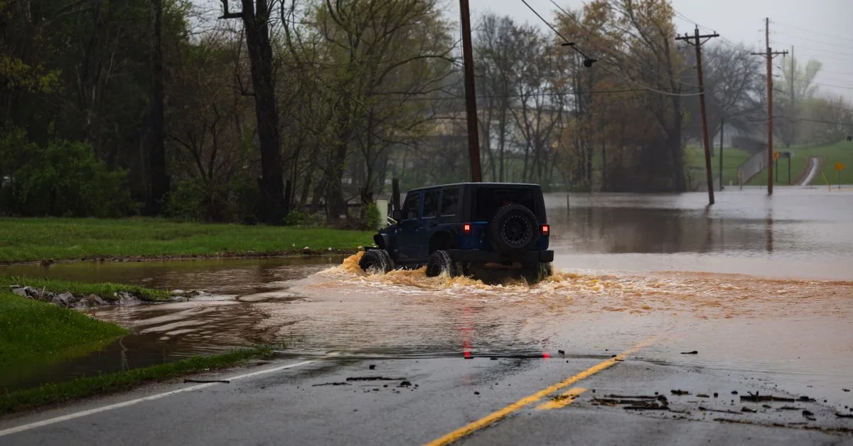
Authorities advise residents to monitor local Bureau of Meteorology updates. Avoid driving through floodwaters, as seen in recent incidents where vehicles became trapped. Follow all instructions from the State Emergency Service and local emergency management agencies.
How much rain has fallen recently?
Some south-east Queensland regions have recorded more than 200mm of rain over the past week, with certain areas in the Sunshine Coast hinterland recording up to 500mm, according to reports.
Who is affected by the storm?
The storm system is impacting a wide area of south-east Queensland, including Brisbane, the Gold Coast, the Sunshine Coast, Ipswich, and regions west of the Darling Downs.
When will the weather improve?
The Bureau of Meteorology has not provided a definitive end time for the severe conditions. Forecasters are monitoring the situation hour-by-hour, with further storm rounds possible throughout Monday evening.
In this story
Sources
Trend snapshot
- Topic
- World
- Trending in
- Australia
- Search interest
- 5000+ recent searches
- Status
- Verified: 3 independent outlets
- Last updated
- Oct 26, 2026 at 6:45 AM
Last checked Oct 26, 2026 at 6:45 AM. Trends move fast, so details may change. How we work · How we verify
Comments