Goutte Froide: Weather Shift Expected Across Switzerland
A meteorological phenomenon known as a 'goutte froide' is moving toward Switzerland, signaling an end to the current dry, mild autumn weather.
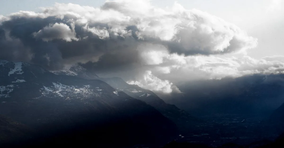
Quick facts
- MétéoSuisse identified the formation of a 'goutte froide' north of France on October 14, 2026.
- The phenomenon consists of a pocket of cold air trapped at high altitude.
- Switzerland has experienced an unusually dry autumn prior to this predicted weather shift.
Why it matters
The interest in 'goutte froide' reflects the high public reliance on accurate weather forecasting in Switzerland, especially following a period of record-breaking dryness. The uncertainty highlighted by MétéoSuisse underscores the difficulty in predicting the trajectory of high-altitude cold drops, which can lead to localized heavy rain or remain relatively benign depending on their interaction with Mediterranean air masses.
A meteorological phenomenon known as a goutte froide is moving toward Switzerland, signaling an end to the current dry, mild autumn weather conditions. As of October 15, 2026, experts at MétéoSuisse have identified this pocket of cold air forming over northern France, which is expected to influence weather patterns across western Europe throughout the coming weekend and into next week.
What is a goutte froide?
A goutte froide, or "cold drop," is a weather system characterized by a pocket of cold air that becomes detached from the main jet stream and trapped at high altitude. This mass of air often creates instability when it meets warmer air near the surface, frequently resulting in cloud cover and precipitation.
Why this is trending in Switzerland
The term is trending because Switzerland has enjoyed an exceptionally dry and mild start to the autumn season. Residents and weather observers are tracking the shift as MétéoSuisse reports that the current anticyclonic conditions, which have kept temperatures above average, are about to give way to a more unsettled period.
What is confirmed and what is not
While the formation of the cold drop is confirmed, the exact intensity and geographical path of the associated rainfall remain uncertain. MétéoSuisse is currently analyzing several potential scenarios, as the interaction between the cold upper-level air and thermal energy from the Mediterranean basin could lead to varying levels of precipitation. Details regarding specific regional rainfall totals were not available at the time of writing.
Expected weather transition
- Thursday and Friday: Continued mild temperatures with generally clear skies, though morning fog or stratus layers are expected in northern Alpine regions.
- Weekend and next week: Increased cloud cover and a return of precipitation are anticipated as the cold drop moves into the region.
Frequently asked questions
What is a goutte froide?
A goutte froide, or 'cold drop,' is a meteorological phenomenon where a pocket of cold air becomes isolated from the main atmospheric flow at high altitude. This often leads to unstable weather, cloudiness, and potential precipitation when it interacts with warmer air masses.
When will the weather change in Switzerland?
According to MétéoSuisse, the current mild, dry autumn conditions are expected to persist through Friday. A shift toward more unsettled weather, including increased cloud cover and precipitation, is anticipated to begin over the weekend and continue into the following week.
Is heavy rain confirmed for Switzerland?
The exact impact of the goutte froide remains uncertain. While an increase in cloud cover and precipitation is expected, forecasters are still evaluating different scenarios. The final intensity and distribution of the rainfall depend on the system's precise trajectory and interaction with Mediterranean air.
Why has the weather been dry recently?
Switzerland has experienced an exceptionally dry autumn due to persistent anticyclonic conditions. These high-pressure systems have dominated the region, resulting in temperatures above the seasonal norm and generally clear skies until the current shift began.
Who is monitoring the goutte froide?
MétéoSuisse, the Swiss Federal Office of Meteorology and Climatology, is actively monitoring the development of the cold drop. They are providing analysis on its movement and potential impact on Swiss weather patterns as the system approaches from northern France.
Will there be fog?
Yes, MétéoSuisse predicts that a layer of stratus or low-altitude fog will likely form during the nights and mornings, particularly in areas north of the Alps. This represents a return to more typical seasonal conditions after a period of unusual dryness.
In this story
Sources
Trend snapshot
- Topic
- Science
- Trending in
- Switzerland
- Search interest
- 1000+ recent searches
- Status
- Verified: 3 independent outlets
- Last updated
- Oct 15, 2026 at 3:15 PM
Last checked Oct 15, 2026 at 3:15 PM. Trends move fast, so details may change. How we work · How we verify
Comments